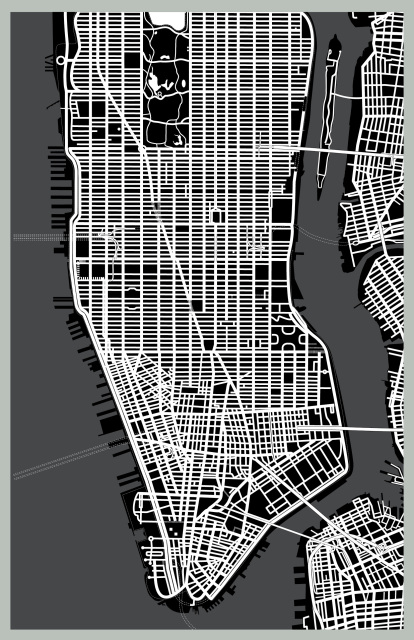
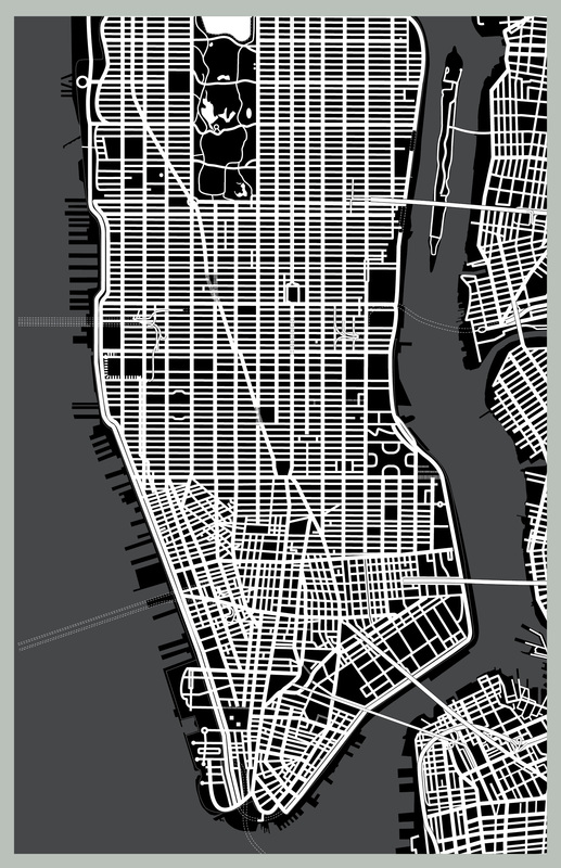
A cartographer doesn't so much draw a map as build it layer by layer. The land mass, roads, piers and bridges are delineated by setting down key lines. Dozens of layers are employed to contain different elements: street sizes, classes of buildings, parks, landmarks, geographical features, areas, neighborhood and street names. Each layer can be turned off or on independently. This poster map of Manhattan from Central Park North to The Battery looks like a computer's mother board. White streets over black land mass. The fainter lines in the water are tunnels. At bottom right you can see the far western end of Long Island - known locally as Downtown Brooklyn. Note the Brooklyn, Manhattan, and Williamsburg bridges.

